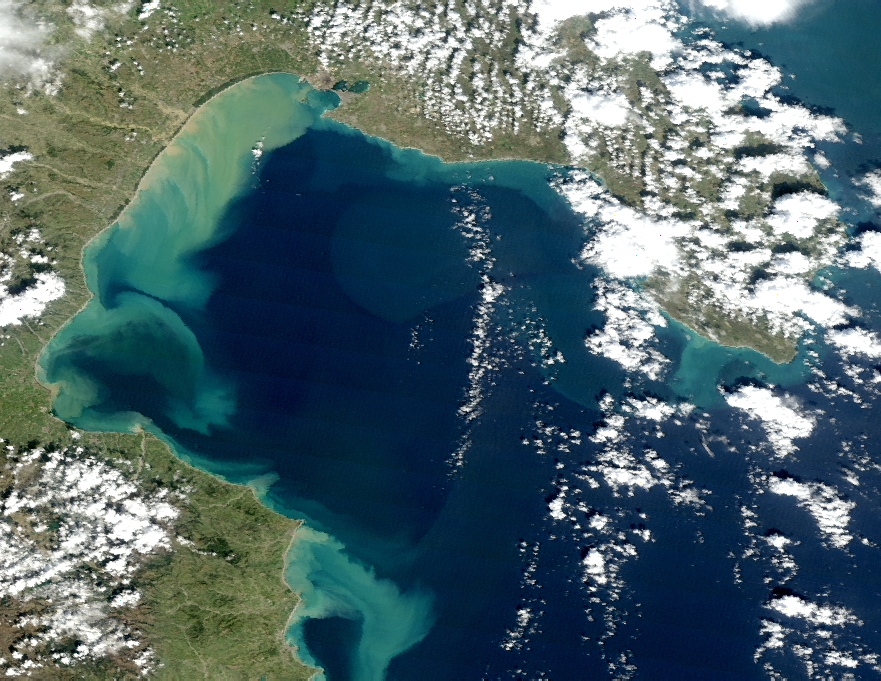
IOnian Sea water quality MOnitoring by Satellite data
Component 3
Calibration, tuning and generation of operational products
This activity starts from the results obtained in the previous two components:
in particular the in-situ measurements allow a calibration/validation of satellite measurements at the local scale and
so a re-evaluation of the preliminary results obtained in component 1.
At the end of this phase, more robust information about water quality,
expressed in terms of the parameters previously identified and investigated, will be provided. The analysis of the results
will allow to re-evaluate the analysis already performed and will allow the identification of
possible critical situations.
Responsible partner:
University of Basilicata - Engeneering School

Integration of satellite data and in situ measurements
The integration between the measurements obtained in the previous component and the satellite data/products defined in component 1,
will allow a calibration of the latter on a local scale and a chek on their reliability and sensitivity.
Any problem that will arise from these analyses will be faced in this phase, allowing the final assessment of satellite products.
Generation of the final results
Once the previous phase will end, the generation of operational satellite products will start; the products
will be distributed at different time scales: daily, weekly, monthly. The results obtained in the component 1 will obviously be re-assessed.
The outputs to be produced in this phase will be:
- Final identification of the investigated parameters long-term trends.
- Aggregated maps (from week to month) of significative satellite parameters for the assessment of water quality.
- Maps of space/time anomalies in the time series of point b).
- Maps of probability/frequency of anomalies occurrence resulting from point c).
- Mapping of the areas with greatest degradation level and those at higher potential risk through the integration of outputs resulting from points c) and d).
- Report about the identification of the most degradeted areas in Basilicata coast and of those at higher potential risk.
- Report about the development and long term validation of advanced and sustainable methods for the study and monitoring
of coastal waters quality.
- Report about the satellite analysis of transport phenomena of sediment released at the mouth of the major rivers of Basilicata
during extreme weather events.